
Jodie Burns of Bentonville, Arkansas is a big fan of Topsail Hill Preserve State Park. Burns, her husband and four boys have been coming to vacation at Topsail since 2010. One of her favorite activities is exploring and taking their boys biking around the park.
“We love all the biking. I have four boys and keeping them worn out from exercise makes our life more peaceful,” Burns said.
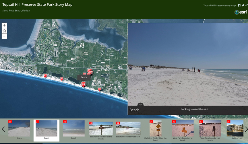
While not enjoying nature, Burns is a student at Northwest Arkansas Community College studying Geographical Information Systems (GIS). She has been working on a project for an Intro to GIS class, and made an interactive GIS map of Topsail in March 2015. Burns took photos, documented the GPS coordinates, created two maps and a website for the project:
Interactive ESRI map: click here
Interactive ArcGIS map: clickhere
Presentation: click here
Burns’ studies are part of an EMPACTS project.
“EMPACTS stands for ‘Educationally-Managed Projects Advancing Curriculum, Technology and Service’ and is oriented towards giving back to the community in some way. One portion of your grade looks at what community you served and the project is designed to give students a taste of working together in groups – similar to working a job where you need to coordinate with several people to get a project done,” said Burns.
It’s great to see folks that visit our area take a great interest in our natural world. Learn more about Topsail Hill Preserve State Park by clicking here.